.jpg)
.jpg)
As we saw in the previous article, about How did Geomarketing start, the essence of what would come to be called Geomarketing began with the awakening of human intelligence.
In this ancient time, knowledge about the outer territory was transmitted through stories and organized in cave paintings, the first maps.
From then on, history accelerated and here we can separate some milestones of its evolution.
Already in 450.ac the First World Map. At a time when resources were limited to horseback riding, rowing and sailing ships, and many climbs on hills and mountains.
Still, the human mind was able to represent a wide outer space, the world known at that time and incredibly faithful to the world we know through satellite images.

Knowledge is power, and maps have always been used to guide armies, collect taxes, and move people and merchandise.
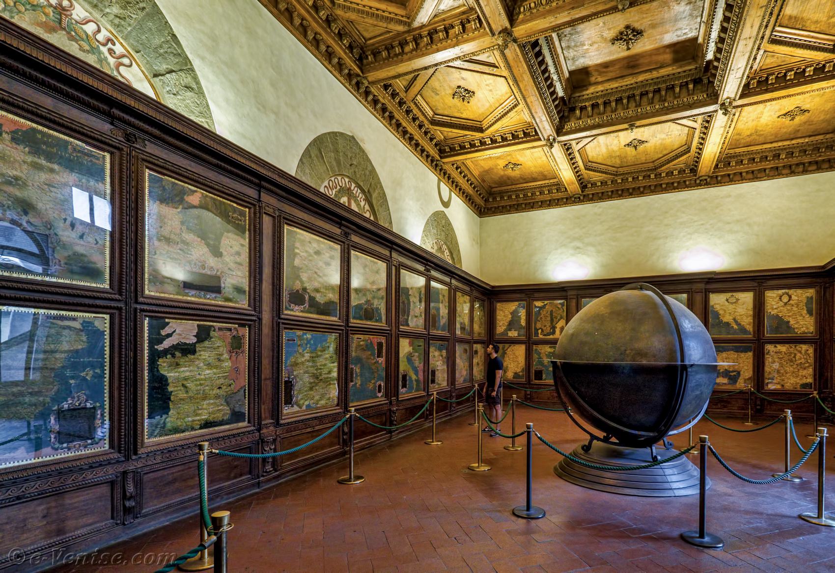
At the height of the Renaissance, a fantastic representation of the world emerges, the Salle des Cartes Géographiques, where a terrestrial globe almost two meters high, accompanied by several other larger-scale maps.
Those were the mercantilist times and the Medici they controlled various trade routes through these maps.

The room itself is right next to the courtroom, where the authorities were received, in a clear sign of a projection of power.

Later in history, we reached the pinnacle of Space Intelligence, when Dr. John Snow marked the addresses of those killed by cholera on a map to demonstrate his thesis that the disease was not transmitted through the air, but through the water that people drank.
Marking the first time that a map was used for the analysis of phenomena and not just orientation.
Other articles in this series:
Geomarketing and Geographic Information Systems
Geomarketing at the turn of the millennium
Geomarketing in the era of Startups


.png)
.png)